Climate and Agriculture
The variability of seasonal precipitation, and the sub-seasonal statistics of these, play a key role in the quality and quantity of agricultural output.
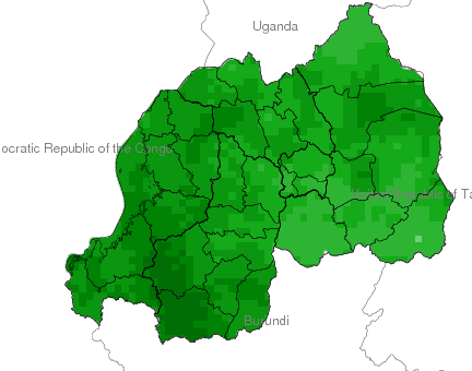
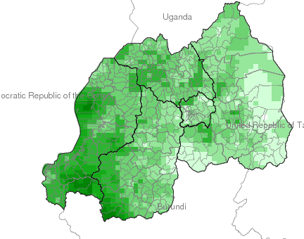
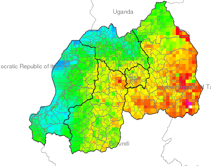
This Maproom includes maps and analyses of seasonal statistics of historical precipitation and seasonal precipitation forecasts


//field/parameter/(Anomaly)/eq/%7BHistory/.CrossValPred_bbwrsi%5BS%5Daverage/sub/prcp_anomaly/DATA/null/null/RANGE%7Dif//field/get_parameter/(PoM)/eq/%7BHistory/.CrossValPred_bbwrsi%5BS%5D0.5/0.0/replacebypercentile/1.0/exch/div/exch/mul//units//unitless/def//percent/unitconvert/Infinity/maskge/prcp_anomaly_25max500_colors2_percentmedian//long_name/(Percent%20of%20Median)/def%7Dif//field/get_parameter/dup/(exceeding)/eq/exch/(non-exceeding)/eq/or/%7B-1/mul/(Percentile)//var/parameter/(WRSI)/eq/%7B180//threshold2/parameter%7D%7BHistory/.Input_prcp/mul%5BS%5D50.0//percentile/parameter/100.0/div/0/replacebypercentile%7Difelse/add/Forecast/.PredErrVar_bbwrsi/sqrt/div/32/2/sub/1/sub/poestudnt//long_name/(probability%20of%20)//field/get_parameter/append/def//field/get_parameter/(non-exceeding)/eq/%7B-1/mul/1/add%7Dif//var/get_parameter/(WRSI)/eq/%7Bcorrelationcolorscale/DATA/0/1/RANGE%7D%7B//field/get_parameter/(non-exceeding)/eq/%7Bstartcolormap/DATA/0/1/RANGE/transparent/purple/RGBdup/0/VALUE/blue//percentile/get_parameter/interp/100.0/div//probref/parameter/0.05/sub/3.0/div/VALUE/turquoise//probref/get_parameter/0.05/sub/3.0/div/2.0/mul/VALUE/LimeGreen//probref/get_parameter/0.05/sub/VALUE/moccasin/RGBdup//probref/get_parameter/0.05/add/bandmax/yellow//probref/get_parameter/0.05/add/0.005/add/VALUE/orange//probref/get_parameter/0.05/add/2.0/mul/1.0/add/3.0/div/VALUE/brown//probref/get_parameter/0.05/add/2.0/add/3.0/div/VALUE/black/1/VALUE/black/endcolormap%7D%7Bstartcolormap/DATA/0/1/RANGE/transparent/black/RGBdup/0/VALUE/brown//percentile/get_parameter/interp/100.0/div/-1.0/mul/1.0/add//probref/parameter/0.05/sub/3.0/div/VALUE/orange//probref/get_parameter/0.05/sub/3.0/div/2.0/mul/VALUE/yellow//probref/get_parameter/0.05/sub/VALUE/moccasin/RGBdup//probref/get_parameter/0.05/add/bandmax/LimeGreen//probref/get_parameter/0.05/add/0.005/add/VALUE/turquoise//probref/get_parameter/0.05/add/2.0/mul/1.0/add/3.0/div/VALUE/blue//probref/get_parameter/0.05/add/2.0/add/3.0/div/VALUE/purple/1/VALUE/purple/endcolormap%7Difelse%7Difelse//units//unitless/def%7Dif/History/.PearsonR_bbwrsi/DATA/0/1/RANGE/startcolormap/transparent/yellow/yellow/0/VALUE/red/1/VALUE/red/endcolormap/Forecast/.target_date/%7Bforecast/Skill/target_date%7Dds//name//Fcst/def/a-/.forecast/-a-/.Skill/-a-/.target_date/-a/SOURCES/.Features/.Political/a%3A/.World/.Countries_GAUL//name//countries/def/adm0_code/43/68/253/257/VALUES/a%3A/.coarse_geom/dup/%3Aa%3A/.label/%3Aa/%3Aa%3A/.Rwanda/.Provinces/.the_geom/%3Aa%3A/.Rwanda/.Districts/.the_geom/%3Aa/X/Y/fig-/colors/colors/plotlabel/grey/strokefill/labelareaby/black/stroke/stroke/-fig//antialias/true/psdef//plotaxislength/432/psdef//plotborder/0/psdef//color_smoothing/1/psdef/S/last/plotvalue/+.gif)